Climbing Llullaillaco

Llullaillaco stands as a testament to nature's rugged beauty at the border of Argentina and Chile. Towering at around 6,739 meters, it ranks as the third-highest active volcano in the world. The climb to its summit is a challenging yet rewarding experience, offering a unique blend of high-altitude and desert conditions. The approach is typically made from the Chilean side, with the arid Atacama Desert as your backdrop. The terrain is a mix of scree and volcanic rock, which can make for a demanding ascent requiring careful navigation and acclimatization. The remote location and harsh environment demand thorough preparation and respect for the mountain's austere beauty.
The ascent of Llullaillaco is not for the faint of heart. Given its elevation, climbers must be vigilant about altitude sickness and prepare for rapidly changing weather conditions. The route itself is not technically difficult, but the challenges lie in the extreme altitude and the barren landscape that offers little in terms of natural shelter. The final push to the summit is an exhilarating endeavor, requiring a pre-dawn start to take advantage of the stable morning weather. Those who reach the top are rewarded with breathtaking views of the surrounding Andean peaks and the expansive salt flats below. It's a humbling experience that few mountains can match.
For those considering this formidable climb, it's important to note that there are currently 7 guides offering expeditions to Llullaillaco. While it's certainly possible to ascend without a guide, having local expertise can enhance the experience and ensure a safer journey. Regardless of your choice, Llullaillaco promises an unforgettable adventure for those willing to tackle its formidable slopes.
Difficulty
- F: Easy (alpine grade 1)
When to go
- February to September
Permits
- 0 permits are needed
- costing around $0 total
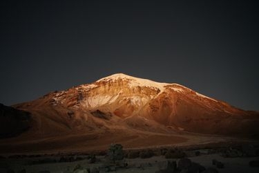
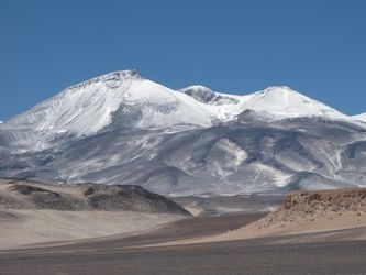
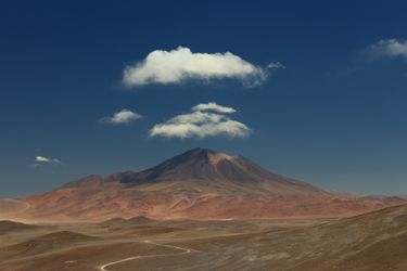
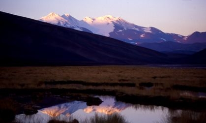
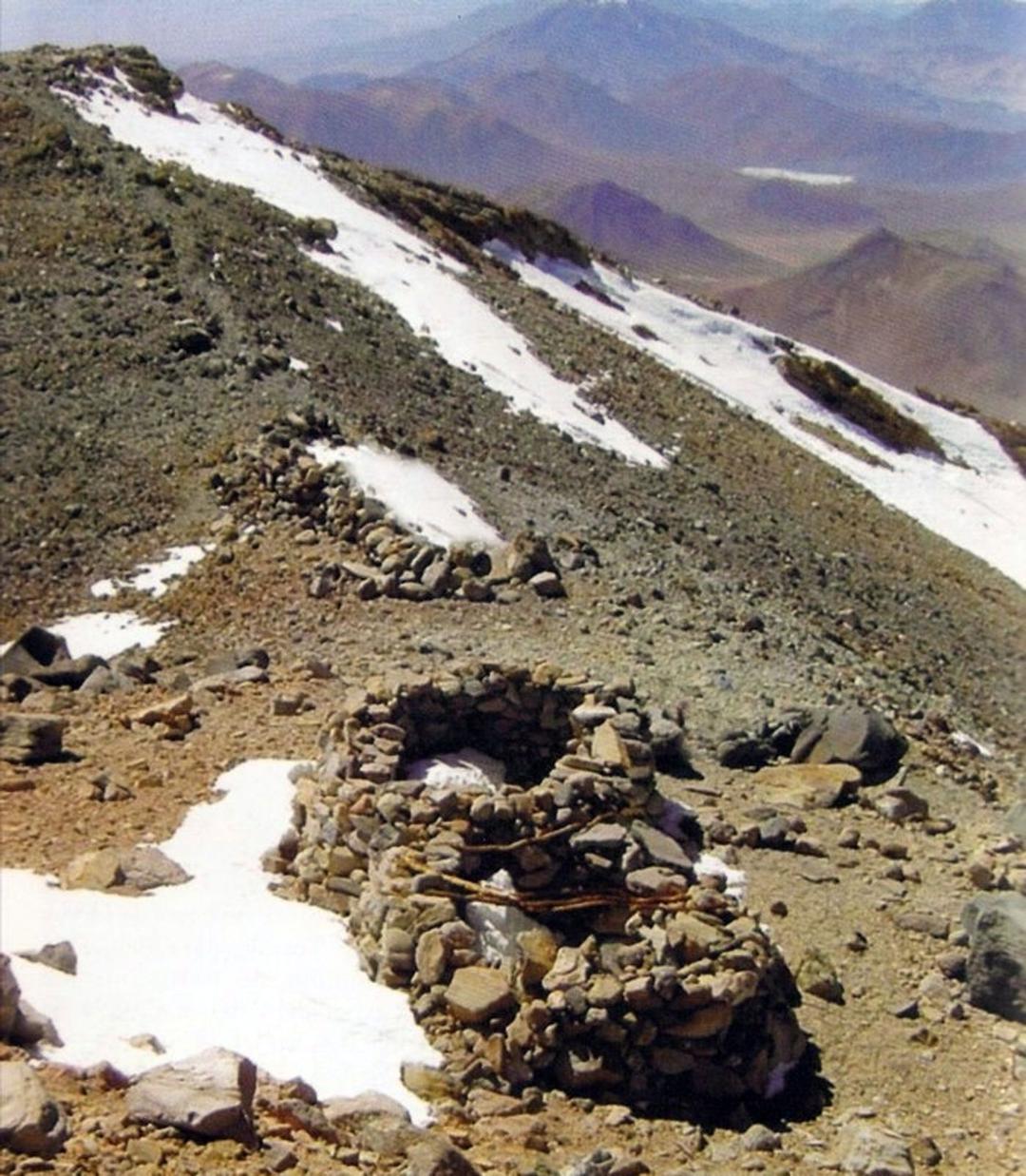
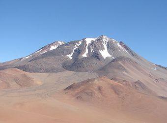
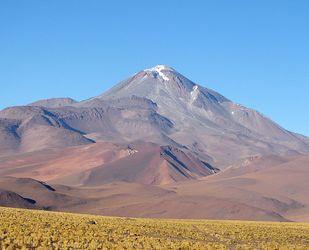
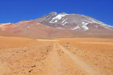
These are pictures taken while climbing Llullaillaco. They're shown here to give you an idea of what the route is like. You're welcome to share your own pictures of climbing Llullaillaco, to help the community of climbers. Picture here are either uploaded by members (their own, or creative commons pictures), or guides.
Guide links
Llullaillaco History
Climbing history of Llullaillaco
The history of Llullaillaco is deeply intertwined with the cultural heritage of the Andean civilizations. This region was once part of the Inca Empire, and it holds significant archaeological importance due to the discovery of well-preserved Inca mummies near its summit. These discoveries provide a glimpse into the rituals and practices of the Inca people, who are believed to have used Llullaillaco for ceremonial purposes.
Early summit attempts by modern climbers were primarily driven by the desire to explore these archaeological sites. The first recorded ascent of Llullaillaco was achieved in December 1952 by a team led by Dr. Bión González, a Chilean mountaineer. His expedition paved the way for future climbers and researchers interested in both the natural beauty and historical significance of the mountain.
Today, Llullaillaco remains a site of both scientific interest and challenging mountaineering, drawing adventurers and archaeologists alike to its remote and rugged slopes.
The Chilean side has a basic refuge, but as the drive-able track goes higher this is unlikely necessary.
Llullaillaco permits
What permits are needed for climbing Llullaillaco
Llullaillaco access - getting there
How to get to Llullaillaco
Llullaillaco Links
useful websites, Groups and communities
Groups / links with more info on the Llullaillaco route.
These climbs are similar in length, difficulty, and elevation. Offering a similar level of challenge as the Llullaillaco climb.

