Climbing Mount Shashta


Mount Shasta, located in Northern California, is a towering stratovolcano that dominates the southern end of the Cascade Range. This iconic peak attracts mountaineers, hikers, and spiritual seekers alike, with its snow-covered slopes and volcanic prominence. Often referred to simply as Shasta, it is one of the most accessible 14,000-foot peaks in the western United States, offering routes for climbers of varying skill levels.
The most popular route, Avalanche Gulch, is ideal for intermediate climbers, with moderate slopes and a mix of snow and volcanic scree. For those seeking more technical ascents, routes like Casaval Ridge provide steep, exposed challenges. Summiting Shasta is a test of endurance, with an elevation gain of over 2,100 meters from base to peak.
From its summit, climbers are treated to sweeping views of Northern California, Oregon, and the expansive wilderness below. With its prominent silhouette and approachable routes, Mount Shasta remains a top destination for mountaineers.
Difficulty
- PD: Not very hard (alpine grade 2)
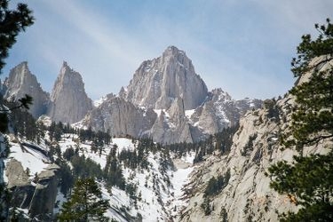
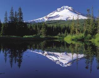
These are pictures taken while climbing Mount Shashta. They're shown here to give you an idea of what the route is like. You're welcome to share your own pictures of climbing Mount Shashta, to help the community of climbers. Picture here are either uploaded by members (their own, or creative commons pictures), or guides.
Guide links
These climbs are similar in length, difficulty, and elevation. Offering a similar level of challenge as the Mount Shashta climb.


